
The Atiwa West District is one of the 261 Metropolitan, Municipal and District Assemblies in Ghana and forms part of the thirty three 33 Municipalities and Districts in the Eastern Region. It was granted its present status by the Legislative Instrument (LI) 1784 of 2004.
It was carved from the then East Akim District Assembly now East Akim Municipal Assembly, in the year 2004. Its Capital is Kwabeng which is situated at the foot of the Atiwa Range.
The Atiwa West District which covers a total area of 656 square kilometers and lies between longitudes O° 3? West and O° 50 East and latitudes 6° 10? North and 6° 30? North.
The District is bounded on the north by Kwahu West Municipal and Kwahu South District, on the north-east by the Fanteakwa South District, East Akim Municipal to the south-east, Kwaebibirem Municipal to the south and Birim North District to the west.
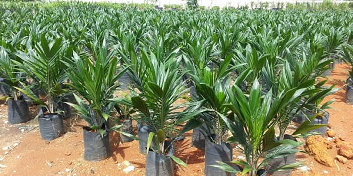
The strategic location of Atiwa West District, sharing boundaries with districts that are famous in agricultural production, provides an opportunity to develop agro processing facilities to make use of raw materials from these areas.
The large area under the jurisdiction of the District has implication for many small settlements whose population may not measure up to the population threshold for provision of certain socio-economic infrastructure.
And being a relatively new district it may also require enough financial resources to be able to close the infrastructure gap.
The population of the District according to 2021 population and housing census stands at 61,219 with 31,288 males and 29,931 females.


- District Sublinks
- Other Links
- Other Officers
- Downloads
- Saboba: Compensation 2022

 facebook
 X (twitter)
 Youtube
 +233 593 831 280
 0800 430 430
 GPS: GE-231-4383
 info@ghanadistricts.com
 Box GP1044, Accra, Ghana