
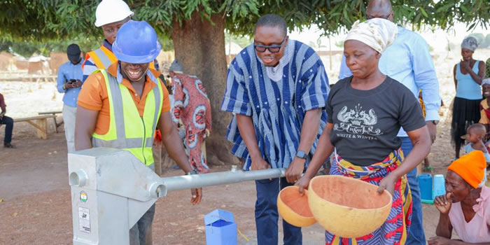
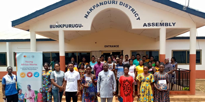
The Bunkpurugu Nakpanduri District Assembly was carved out from the East Mamprusi Municipal and it is located to the north-eastern corner of North East Region.
The Bunkpurugu Nakpanduri District has an estimated total land size of 533 square kilometres. Bunkpurugu is the District capital and is located at the north-eastern corner of the North East Region of Ghana.
Bunkpurugu Nakpanduri shares boundaries in the north with the Garu District, to the east with Togo, west with East Mamprusi Municipal and to the south with Gushegu Municipal and Chereponi District.
The population of the Bunkpurugu Nakpanduri District according to 2021 population and housing census stands at 82,384 with 40,404 males and 41,980 females.


Leadership


Vital Links
- District Sublinks
- Other Links
- Other Officers
- Downloads
- Saboba: Compensation 2022
Handy Data

 facebook
 X (twitter)
 Youtube
 +233 593 831 280
 0800 430 430
 GPS: GE-231-4383
 info@ghanadistricts.com
 Box GP1044, Accra, Ghana