Most parts of the district are generally undulating and it lies between 152.4 metres (m) and 610 metres above sea level. It is cut through in the east by the Tano and Bia River Basin, this is mostly below 152.4m above sea level. The highlands, which rise above 305m, lie in a northern direction of the district capital. The main drainage system is the Tano river and its tributaries. The Tano river cuts roughly in a Southern direction and enters the sea in La Cote d’ lvoire. The major tributaries include the Suhien, Kunuma, Sui and the Yoyo.
Geology and Mineral Deposits
The main geological formations that cover the district are the lower and upper Birimain types with the lower Birimain formation to the extreme eastern and north-eastern parts. These are volcanic rocks, which have been solidified from molten materials (lava). These are often steep and strongly dissected. There are gold deposits at Akontombra and Nsawora/Nkwadum areas. Few isolated diamonds are found to the north of Akontombra near Bopa.
Climate
The District falls within the tropical rainforest climate zone with high temperatures between 250 C – 300 C throughout the year. It has moderate to heavy rainfall between 1,524 mm and 1,780mm per annum with a double maxima characteristics in June-July and September-October as peaks. Humidity is high, about 90 percent at night falling to 75 percent during the day. The rainfall distribution pattern as indicated above is favourable for agricultural activities. The dry season is marked by relatively low humidity and hazy conditions occur from December to February. Because humidity is relatively high during the dry season, the District experiences fewer bush fire outbreaks.

Soils
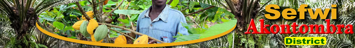
There are three main soil types found in the District namely: Forest (Ochrosols, Oxylols and Ochrosols-Oxysols intergrades). The most widespread is the forest Ochrosols, which cover most of the northern and western parts of the district. The forest Ochrosols and Oxysols are rich soils which support the cultivation of cash and food crops, such as cocoa, palm tree, cola, coffee, cashew, plantains, cocoyam, cassava and maize.
Vegetation and Forest Reserve Cover
The Sefwi Akontombra District falls within the moist semi-decidus forest zone of Ghana, which covers most of Ashanti, Western, Brong-Ahafo and Eastern regions. The forest type consists of the Celtic triplochiton association. Common species found are Onyina, Odum, Wawa, Mahogany, Sapele, Emire, Asamfina, Red cedar, among others.
There is a high degree of depletion of the original forest. Large sections of the forest are now secondary due to improper farming practices and logging. Because of this, a large section of the forest totalling 362.39 km2 has been put under reserves. The District has three (3) forest reserves namely Tano Ehuro, Santomang and Sui River.
Date Created : 11/20/2017 3:43:14 PM


- District Sublinks
- Other Links
- Other Officers
- Downloads
- Saboba: Compensation 2022

 facebook
 twitter
 Youtube
 TOLL FREE 0800 430 430
 +233 593 831 280
 GPS: GE-231-4383
 info@ghanadistricts.com
 Box GP1044, Accra, Ghana